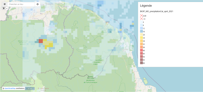
Rainfall monitoring
Algorithms retrieve satellite rainfall data provided by NASA for the Maroni and Oyapock basin areas and apply corrections using data from the CSG (Kourou) radar. This data feeds the hydrological model and helps better anticipate floods and droughts.
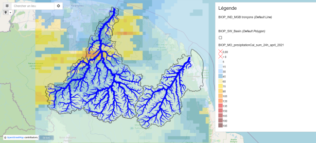
MGB debit card with precipitation for April 2021
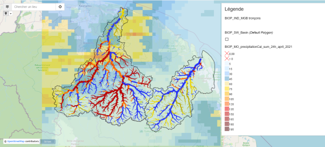
MGB debit map with thresholds and precipitation for April 2021
Rainfall map for the last month
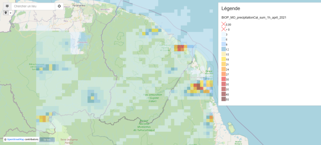
Visualization of cumulative rainfall for April 2021 with 1-hour time increments
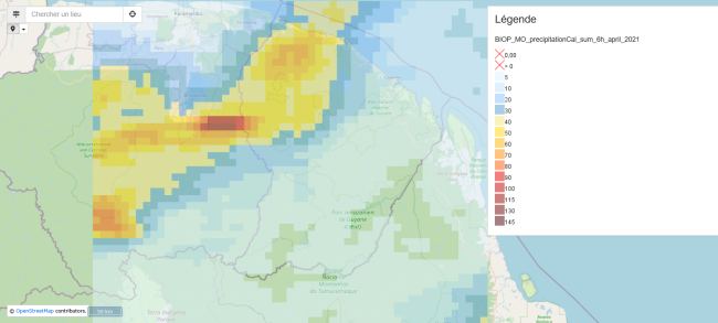
Visualization of cumulative rainfall for April 2021 with 6-hour time steps
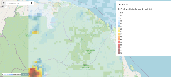
Visualization of cumulative rainfall for April 2021 with a 2-hour time step
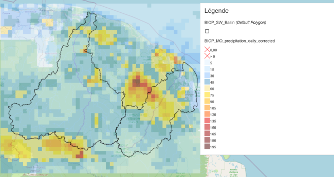
Visualization of precipitation in April 2021 with 30-minute intervals