MGB Hydrological Modeling
Powered by satellite data and in situ measurements, the MGB model daily simulates flow rates and water levels for both basins. It can also provide short-term forecasts, whose reliability depends on the quality of available weather forecasts. A key tool for water management and risk anticipation, with results accessible to support managers daily.
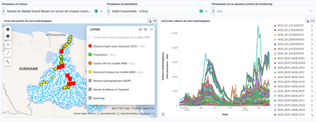
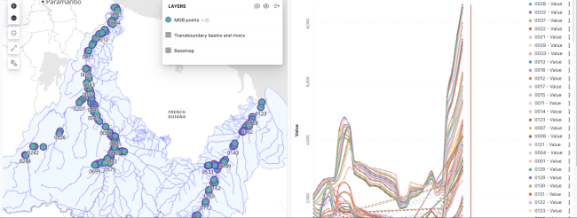
Hydrological data dashboard: in situ and MGB model
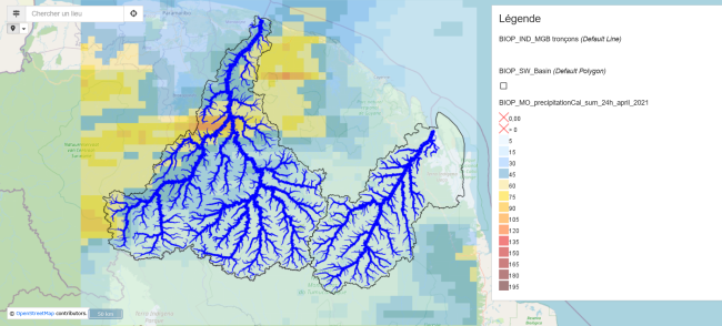
MGB debit card with precipitation for April 2021
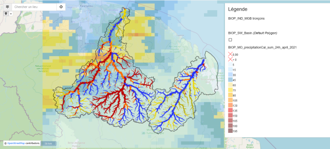
MGB debit map with thresholds and precipitation for April 2021
MGB output data dashboard with forecast
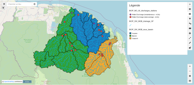
Map of the MGB model sub-basins
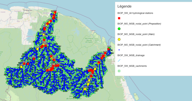
Map of the MGB sub-basins with flow stations