From 4 to 8 May 2026, the BIO-PLATEAUX II mission brought together water stakeholders, institutions and territorial managers in French Guiana, Suriname and Brazil to strengthen knowledge and management of transboundary rivers through space hydrology.
The mission took place in two stages: an initial cooperation phase between Suriname and French Guiana (4–6 May, Kourou and Cayenne), followed by a Franco-Brazilian workshop in Oiapoque (7–8 May), attended by representatives from the State of Amapá.
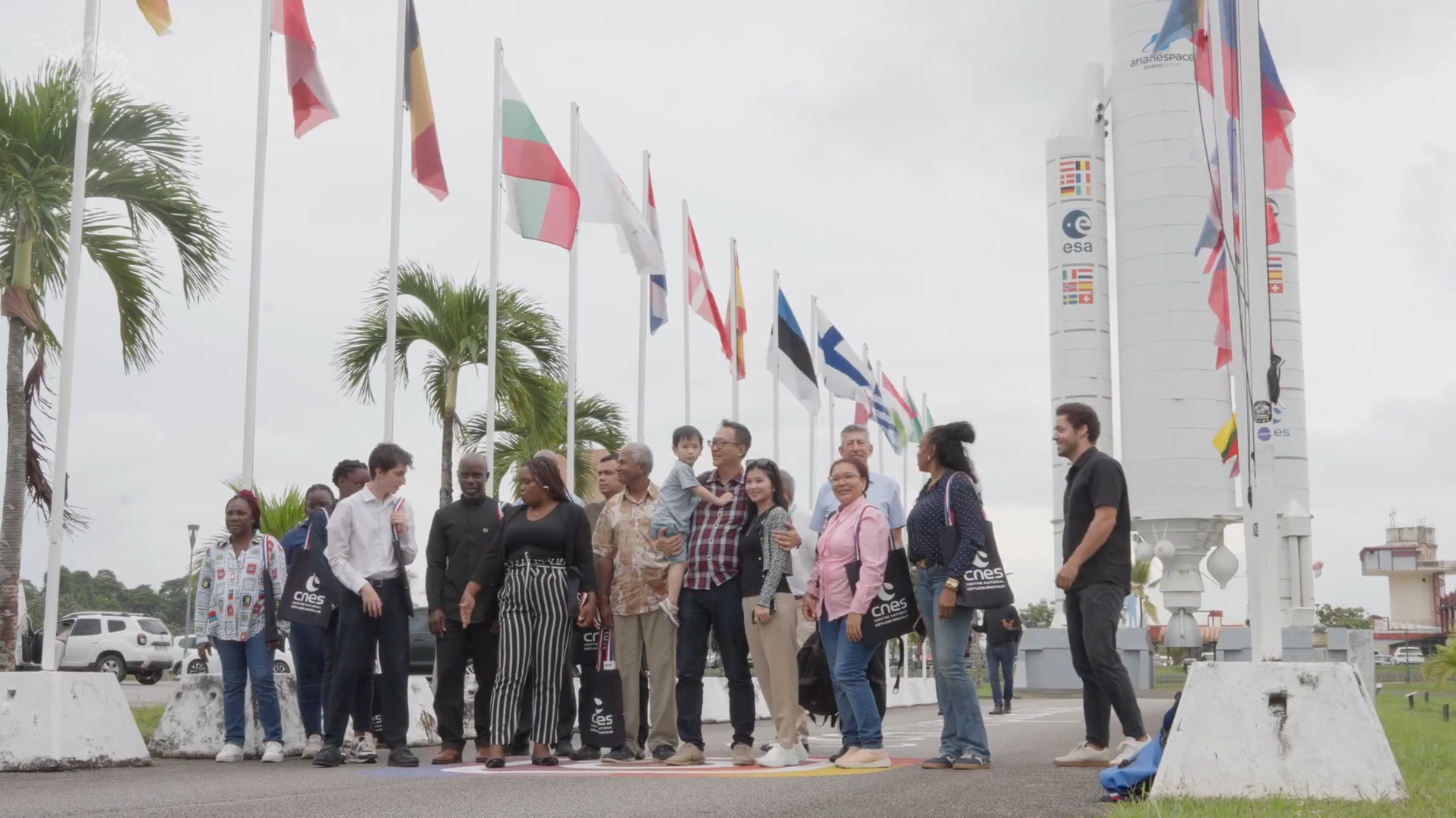
Watch the video: https://www.youtube.com/watch?v=H5QSxdk5cIE
These exchanges provided an opportunity to showcase the contribution of satellite-based tools to water management and to highlight the visualisation solutions developed by the BIO-PLATEAUX II project for the Maroni and Oiapoque river basins.
Space technologies for better river knowledge
In partnership with the Institute for Research and Development (IRD) and the Start-up Hydromatters, discussions focused on four pillars of space hydrology: satellite rainfall monitoring, hydrological modelling (MGB), satellite altimetry for water-level monitoring, and water-quality monitoring through the analysis of surface water colour.
These approaches help improve understanding of sparsely monitored territories and enhance precipitation monitoring, flood and low-flow forecasting, as well as water-quality assessment.
An innovative integrated study across the Guiana Plateau
As part of the BIO-PLATEAUX II project, an integrated study combines these four complementary approaches. The joint use of satellites such as SWOT and Sentinel-2, field observations and hydrological models provides a continuous view of watershed dynamics.
This approach contributes to more accurate estimates of river discharge, water levels and water quality, ultimately supporting -risk anticipation and the detection of environmental pressures such as illegal gold mining and deforestation.
These results are also the consequence of long term researchs carried out for several years by the National Centre for Space Studies, and the SCO/OpHySE.
Visualisation tools available through the BIO-PLATEAUX platform
The mission also highlighted the BIO-PLATEAUX platform (www.bio-plateaux.org), developed by the International Office for Water (OiEau), which centralises visualisation tools dedicated to rainfall monitoring, hydrological modelling, satellite altimetry and water quality.
The demonstrations generated extensive discussions with participants, making it possible to gather feedback, identify operational applications and better define future needs.
Strengthened regional cooperation
Finally, the mission confirmed the central role of the Maroni and Oiapoque transboundary rivers in regional cooperation.
For the Maroni basin, partners expressed their willingness to continue and further structure cooperation, notably through the preparatory work towards a Franco-Surinamese European Grouping of Territorial Cooperation (EGTC). Additional avenues were discussed, including improving navigability during low-water periods and exploring innovative rainfall-monitoring solutions based on mobile networks.
For the Oiapoque basin, discussions highlighted the need to develop a shared and progressive basin assessment through a common knowledge base and strengthened technical dialogue between Brazilian and French Guianese experts.
By strengthening data sharing, technical capacities and cooperation among territories, BIO-PLATEAUX II contributes to the emergence of integrated, coordinated and sustainable water resources management across the Guiana Plateau.